A cave and a hill so steep the wagons had to be lowered down it
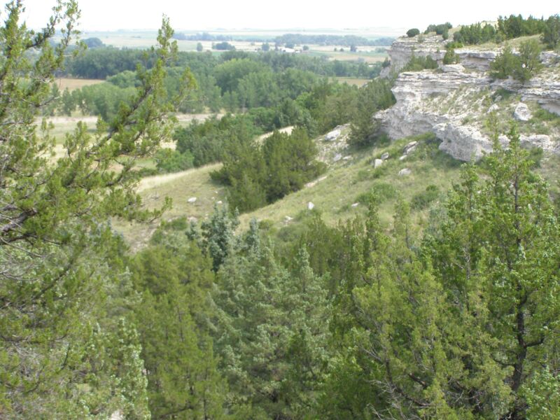
Ash Hollow State Historical Park lies five miles south of Lewellen in Garden County, Nebraska, and holds two places 2.5 miles apart that between them span a few thousand years of people passing through: Ash Hollow Cave and Windlass Hill.
The cave came first. A spring nearby made it a good place to stop, and digs have found at least four distinct Indigenous cultures using it as a base camp for hunting and gathering over more than 1,500 years: the Late Archaic, from 1000 BC to AD 500; the Woodland tradition, from about AD 0 to 1100; the Central Plains tradition, from 900 to 1450; and the Apache, from 1675 to 1725. From the early 18th century the country was mainly Lakota Sioux. The cave became a National Historic Landmark in 1964.
Windlass Hill belongs to the Oregon-California Trail. It marked the way down from the high tablelands to the south into Ash Hollow and the North Platte valley, and emigrants had a hard time of it: a 25-degree slope that ran down for about 300 feet. Their ruts are still visible on the hill. The emigrants themselves never called it Windlass Hill, and nobody knows where the name came from.
The hollow below has its graves. On 18 June 1849 Nathan and Rachel Pattison, married two months earlier in Randolph County, Illinois, and bound for Oregon with Nathan's family, reached Ash Hollow and stopped for repairs. The next day Rachel came down with cholera and died twelve hours later, despite the doctors, at 18. "Rachel taken sick in the morning, died in the night," Nathan wrote. Her trailside grave began what became Ash Hollow Cemetery, on the west side of Highway 26 south of Lewellen, where a monument near the flagpole keeps her original gravestone.
Six years later the hollow saw worse. In September 1855, in reprisal for the Grattan fight near Fort Laramie the year before, the United States Army attacked a Brulé Sioux camp near here with 600 troops, killing 86 people, women and children among them, and carrying off 70 more women and children as captives. It is remembered as the Ash Hollow Massacre.
Nebraska protected the site in 1962 as a 312-acre state park, and a visitor centre overlooking the canyon opened in 1978.
Commons photos · US National Register · GeoNames · OpenStreetMap
Other places on the map within a couple of hours.
