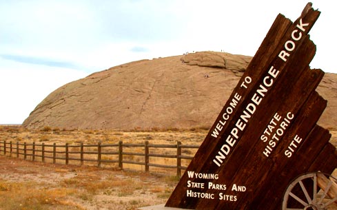
The Register of the Desert, carved with the names of people walking west
A granite whaleback 130 feet high, 1,900 long and 850 wide, sitting beside Highway 220 in Natrona County. Through the middle of the nineteenth century it was the landmark on the Oregon, Mormon and California trails, and emigrants carved their names into it in their thousands. Father Pierre-Jean De Smet came through in 1840 and called it the Register of the Desert, which is exactly what it is: a rock covered in the signatures of people walking west.
Other places on the map within a couple of hours.
